 |
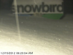
| Pic. courtesy Sheryn Shaw on Saturday morning |

Our next storm will arrive on Sunday and as i stated in my last post, we will have to watch this one and of course it looks a little stronger than before, it still looks like it will move in for Sunday through Monday. This is an advection precipitation event and favors the Northern Wasatch. NWS has hoisted a Winter Storm Watch already to highlight this. This system looks much better now than it did the other day, so we’re feeling optimistic. Another 10-20″ can be expected for Sunday-Monday in the mountains with up to 2 feet in favored locations north of I-80. Wasatch front Valleys should receive another 1"-3" + ,benches should receive 2"-5" +. Lots of Snow! Monday should be an awesome powder day!
The next system moves in late Tuesday and drags a front through the area early Wednesday morning. This system is fairly potent as well as very cold. There will be potential for lake effect snow behind the front on Wednesday. We’re looking at potential for additional significant accumulations of 1'-2' + for the Wasatch mountains with wasatch front valleys 6"+ and benches 12", hopefully the models do not flip flop on us and it produces a BIG snow event, Keep your Fingers Crossed!
After Wednesday it looks like we’ll have at least a 4 day break with the possibility of urban Fog, next chance for snow will be Christmas eve or Christmas day. But let’s focus on the a very snowy short term for now!
No comments:
Post a Comment